Rose 'Then and Now' Bible Map Atlas
Book Details
Format
Spiral Bound, Comb or Coil
ISBN-10
159636534X
ISBN-13
9781596365346
Publisher
Rose Publishing
Imprint
Rose Publishing
Country of Manufacture
HK
Country of Publication
GB
Publication Date
Mar 25th, 2013
Print length
272 Pages
Weight
1,410 grams
Dimensions
22.50 x 28.70 x 2.30 cms
Product Classification:
Historical maps & atlases
AI Summary
Ksh 8,200.00
Werezi Extended Catalogue
0 in stock
Delivery Location
Delivery fee: Select location
Secure
Quality
Fast
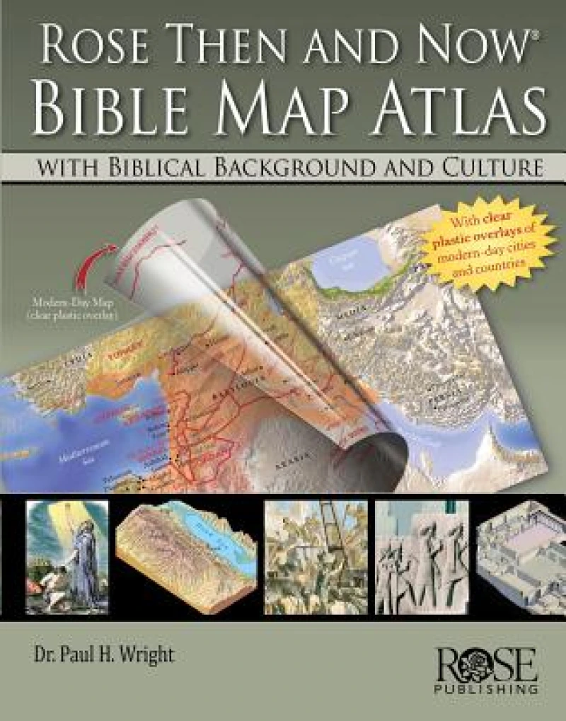
Most Bible atlases only feature maps with very few explanations—which means they show where places are, but they don’t explain why they matter. Enjoy having an Atlas that not only includes over 120 maps, but also key background information! Rose Then and Now Bible Map Atlas with Biblical Background and Culture is the only Bible atlas with a combination of—
- 120 stunning detailed Bible maps.
- Clear plastic overlays of modern cities and countries so you know where Bible places are today.
- Incredible insights into the lives of 30 important Bible characters. This Bible atlas focuses on people—not regions—and how the Middle East geography affected their lives and decisions.
- Maps include lines to show the direction people traveled, along with helpful notes.
- Paul Wright’s text gives Bible references and shows how knowing the land of the Bible uncovers new details in the most beloved stories and people.
- Learn how David’s clever understanding of geography and politics led to his marriage with Ahinoam of Jezreel.
- Discover why Naomi, in the Book of Ruth, couldn’t just move back to Bethlehem after her husband’s death and use his land again.
- Find out why Moses and the Children of Israel took the long southern trek from Egypt to the Promised Land, rather than the direct route.
Get Rose 'Then and Now' Bible Map Atlas by at the best price and quality guaranteed only at Werezi Africa's largest book ecommerce store. The book was published by Rose Publishing and it has pages.
Discover books you might love based on this title.
More in This Genre

Peaky Blinders Fold Up Street Map of Birmingham 1892 - All Streets Roads and Avenues fully indexed to location grids - Map is surrounded by 22 real life character's that were labelled as "Peaky Blinders" including those who were later members of Billy Kimber's notorious Birmingham gang.
Ksh 3,600.00

Atlas of Vanishing Places
Ksh 2,000.00

An Atlas of Extinct Countries
Ksh 2,000.00

Geographies of Nationhood
Ksh 21,050.00

Zwischen Karten
Ksh 0.00

The Routledge Atlas of American History
Ksh 20,700.00
