Remote Sensing of Natural Resources
Book Details
AI Summary
Delivery Location
Delivery fee: Select location
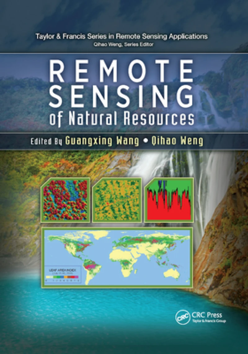
Highlighting new technologies, Remote Sensing of Natural Resources explores advanced remote sensing systems and algorithms for image processing, enhancement, feature extraction, data fusion, image classification, image-based modeling, image-based sampling design, map accuracy assessment and quality control. It also discusses their applications for evaluation of natural resources, including sampling design, land use and land cover classification, natural landscape and ecosystem assessment, forestry, agriculture, biomass and carbon-cycle modeling, wetland classification and dynamics monitoring, and soils and minerals mapping.
The book combines review articles with case studies that demonstrate recent advances and developments of methods, techniques, and applications of remote sensing, with each chapter on a specific area of natural resources. Through a comprehensive examination of the wide range of applications of remote sensing technologies to natural resources, the book provides insight into advanced remote sensing systems, technologies, and algorithms for researchers, scientists, engineers, and decision makers.
Get Remote Sensing of Natural Resources by at the best price and quality guaranteed only at Werezi Africa's largest book ecommerce store. The book was published by Taylor & Francis Ltd and it has pages.
Discover books you might love based on this title.
More in This Genre
Modelling Interactions Between Vector-Borne Diseases and Environment Using GIS
Ksh 31,500.00

The City in the Developing World
Ksh 11,900.00

Sport
Ksh 0.00
Conservation and Environmentalism
Ksh 44,400.00

Historic Cities in the Face of Disasters
Ksh 23,400.00

Modern River Science for Watershed Management
Ksh 25,200.00
