Remote Sensing of Impervious Surfaces
Book Details
AI Summary
Delivery Location
Delivery fee: Select location
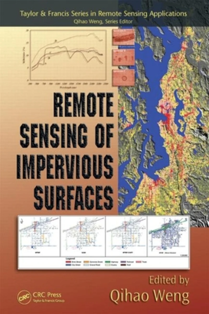
Written by renowned experts in the field, this book reviews the major approaches that apply to this emerging field as well as current challenges, developments, and trends. The authors introduce remote sensing digital image processing techniques for estimating and mapping impervious surfaces in urban and rural areas. Presenting the latest modeling tools and algorithms for data extraction and analysis, the book explains how to differentiate roads, roofs, and other manmade structures from remotely sensed images for individual analysis.
The final chapters examine how to use impervious surface data for predicting the flow of storm- or floodwater and studying trends in population, land use, resource distribution, and other real-world applications in environmental, urban, and regional planning. Each chapter offers a consistent format including a concise review of basic concepts and methodologies, timely case studies, and guidance for solving problems and analyzing data using the techniques presented.
Get Remote Sensing of Impervious Surfaces by at the best price and quality guaranteed only at Werezi Africa's largest book ecommerce store. The book was published by Taylor & Francis Inc and it has pages.
Discover books you might love based on this title.
More in This Genre

Microelectronics And Optoelectronics: The 25th Annual Symposium Of Connecticut Microelectronics And Optoelectronics Consortium (Cmoc 2016)
Ksh 20,350.00

Proceedings of the Second Global Forum on Space Information for Sustainable Development
Ksh 21,600.00

Geodesy
Ksh 25,200.00

Contributions to International Conferences on Engineering Surveying
Ksh 8,100.00

Trends in Civil Engineering and Challenges for Sustainability
Ksh 45,000.00

Image Processing
Ksh 43,750.00
