Millstones of The Pennines and North West England
Book Details
Format
Paperback / Softback
ISBN-10
1398112933
ISBN-13
9781398112933
Publisher
Amberley Publishing
Imprint
Amberley Publishing
Country of Manufacture
GB
Country of Publication
GB
Publication Date
Jul 15th, 2023
Print length
96 Pages
Weight
274 grams
Dimensions
16.50 x 23.40 x 1.30 cms
Product Classification:
Mining technology & engineeringLocal history
AI Summary
Ksh 2,900.00
Werezi Extended Catalogue
Delivery in 14 days
2 copies in stock
Delivery Location
Delivery fee: Select location
Delivery in 14 days
Secure
Quality
Fast
Dr David Johnson explores the fascinating story behind this important and oft-forgotten part of Britain's landscape.
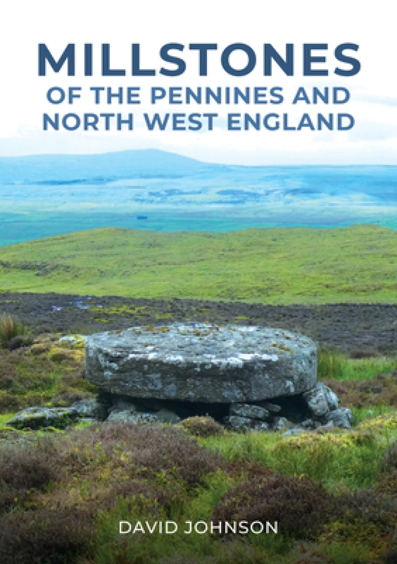
Ever since people began cultivating cereal crops 10,000 years ago grain had to be ground down, or milled, into flour to make bread. Up to the Roman period in Britain this could only be done using simple hand querns but, over time, technology improved by introducing circular, horizontal millstones powered by water or wind. Other trades needed the means to crush raw materials to produce their final product: vertical grindstones were used to crush bark for use in tanning, pulp softwood timber to make paper, crush apples for cider, or pulverise gorse for animal fodder.Millstones and grindstones were roughed out in small quarries and on hillsides wherever suitable stone outcropped, and the evidence of this rural industry can be teased out by examining abandoned ‘roughouts’ that litter many upland areas and by searching for tooling marks.This book explores production sites across North West England and along the Pennine chain, where millstones and grindstones were sourced from the Middle Ages to the nineteenth century.
Get Millstones of The Pennines and North West England by at the best price and quality guaranteed only at Werezi Africa's largest book ecommerce store. The book was published by Amberley Publishing and it has pages.
Discover books you might love based on this title.