
Little Aston 1887 - Old Map Supplied Rolled in a Clear Two Part Screw Presentation Tube - Print size 45cm x 32cm
Book Details
Format
Sheet Map, Rolled
ISBN-10
184491786X
ISBN-13
9781844917860
Publisher
Historical Images Ltd
Imprint
Mapseeker Archive Publishing
Country of Manufacture
GB
Country of Publication
GB
Publication Date
Nov 23rd, 2011
Print length
1 Pages
Product Classification:
Historical maps & atlases
AI Summary
Ksh 2,350.00
Temporarily out of stock, due soon
0 in stock
Delivery Location
Delivery fee: Select location
Secure
Quality
Fast
No description available for this book.
Get Little Aston 1887 - Old Map Supplied Rolled in a Clear Two Part Screw Presentation Tube - Print size 45cm x 32cm by at the best price and quality guaranteed only at Werezi Africa's largest book ecommerce store. The book was published by Historical Images Ltd and it has pages.
Discover books you might love based on this title.
More in This Genre

Derbyshire 1610 - 1836 - Fold Up Map that features a collection of Four Historic Maps, John Speed's County Map 1611, Johan Blaeu's County Map of 1648, Thomas Moules County Map of 1836 and Cole and Roper's Plan of the City of Derby 1806. The map's also features early views of Barlborough Hall, Doveridge House, Chatsworth House and Tissington Hall.
Ksh 3,600.00

London in the 18th Century
Ksh 4,500.00

Central Liverpool 1890
Ksh 700.00
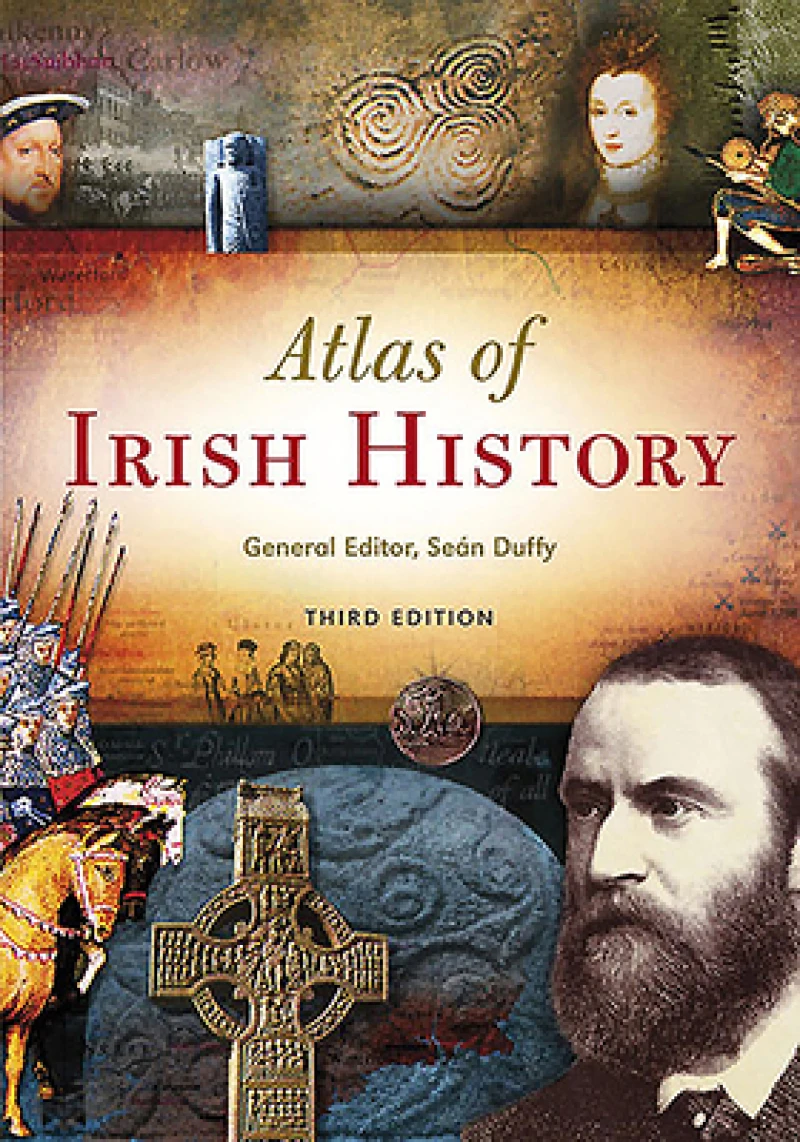
Atlas of Irish History
Ksh 3,400.00

Wylde Green 1885 - Old Map Supplied Rolled in a Clear Two Part Screw Presentation Tube - Print Size 45cm x 32cm
Ksh 2,350.00

Tracks on the Ocean
Ksh 5,400.00
