
Historic Ways Road Map of England and Wales in the Late Middle Ages : Showing major highways, bridges, towns, inns, castles, great houses, cathedrals, monasteries and battlefields
Book Details
Format
Sheet Map, Folded
ISBN-10
1036923797
ISBN-13
9781036923792
Publisher
Historic Ways
Imprint
Historic Ways
Country of Manufacture
GB
Country of Publication
GB
Publication Date
Jul 15th, 2025
Print length
1 Pages
Dimensions
22.20 x 12.50 x 0.50 cms
Product Classification:
Historical maps & atlases
AI Summary
Ksh 2,700.00
Werezi Extended Catalogue
Delivery in 14 days
2 copies in stock
Delivery Location
Delivery fee: Select location
Delivery in 14 days
Secure
Quality
Fast
The map was developed through a lifetime's research, including on-the-ground exploration. It offers an ideal way to explore the Middle Ages at home and plan visits.
Get Historic Ways Road Map of England and Wales in the Late Middle Ages by at the best price and quality guaranteed only at Werezi Africa's largest book ecommerce store. The book was published by Historic Ways and it has pages.
Discover books you might love based on this title.
More in This Genre

Ancoats (North) 1848
Ksh 700.00
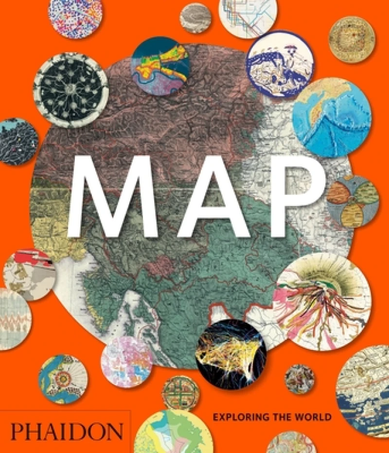
Map
Ksh 5,700.00

A Bristol 1851-1903 - Fold up Map that consists of Four Detailed Street Plans, Bristol 1851 by John Tallis, 1866 by A Fullarton, 1893 by William MacKenzie and 1903 by Bartholomew.
Ksh 3,600.00
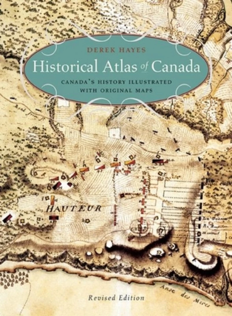
Historical Atlas of Canada
Ksh 5,700.00

Hart Common & Dobb Brow 1907
Ksh 650.00

The One-Stop Bible Atlas
Ksh 2,550.00
