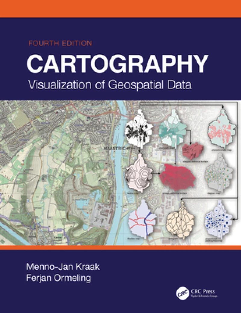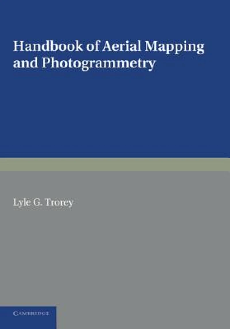
Handbook of Aerial Mapping and Photogrammetry
Book Details
Format
Paperback / Softback
ISBN-10
1107623308
ISBN-13
9781107623309
Publisher
Cambridge University Press
Imprint
Cambridge University Press
Country of Manufacture
GB
Country of Publication
GB
Publication Date
Sep 12th, 2013
Print length
214 Pages
Weight
35 grams
Dimensions
24.00 x 17.00 x 1.20 cms
Product Classification:
Cartography, map-making & projectionsGeodesy & surveying for maps & charts
AI Summary
Ksh 8,450.00
Manufactured on Demand
0 in stock
Delivery Location
Delivery fee: Select location
Secure
Quality
Fast
Originally published in 1952, this book is intended as an introductory guide to aerial mapping and photogrammetry. The main emphasis is on making maps during wartime, when accuracy is paramount and information may be minimal; Trorey had experience of this while serving with the Canadian Military Survey in WWII.
Get Handbook of Aerial Mapping and Photogrammetry by at the best price and quality guaranteed only at Werezi Africa's largest book ecommerce store. The book was published by Cambridge University Press and it has pages.
Discover books you might love based on this title.