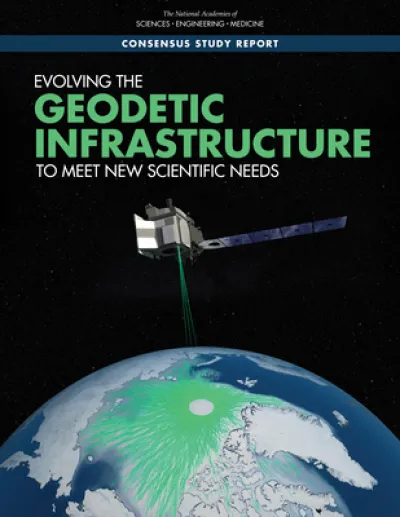
Evolving the Geodetic Infrastructure to Meet New Scientific Needs
Book Details
AI Summary
Delivery Location
Delivery fee: Select location
Delivery in 14 days
Satellite remote sensing is the primary tool for measuring global changes in the land, ocean, biosphere, and atmosphere. Over the past three decades, active remote sensing technologies have enabled increasingly precise measurements of Earth processes, allowing new science questions to be asked and answered. As this measurement precision increases, so does the need for a precise geodetic infrastructure.
Evolving the Geodetic Infrastructure to Meet New Scientific Needs summarizes progress in maintaining and improving the geodetic infrastructure and identifies improvements to meet new science needs that were laid out in the 2018 report Thriving on Our Changing Planet: A Decadal Strategy for Earth Observation from Space. Focusing on sea-level change, the terrestrial water cycle, geological hazards, weather and climate, and ecosystems, this study examines the specific aspects of the geodetic infrastructure that need to be maintained or improved to help answer the science questions being considered.
Get Evolving the Geodetic Infrastructure to Meet New Scientific Needs by at the best price and quality guaranteed only at Werezi Africa's largest book ecommerce store. The book was published by National Academies Press and it has pages.
Discover books you might love based on this title.
More in This Genre

Advances In Geosciences (Volumes 1-5)
Ksh 106,900.00

Applied Hydrogeochemistry
Ksh 18,000.00
Modern Groundwater Exploration
Ksh 23,400.00

Geospatial Information and Services for Climate Resilient Disaster Management
Ksh 21,950.00

Synoptic Paleoclimatology
Ksh 13,500.00

This is Planet Earth
Ksh 2,000.00
