
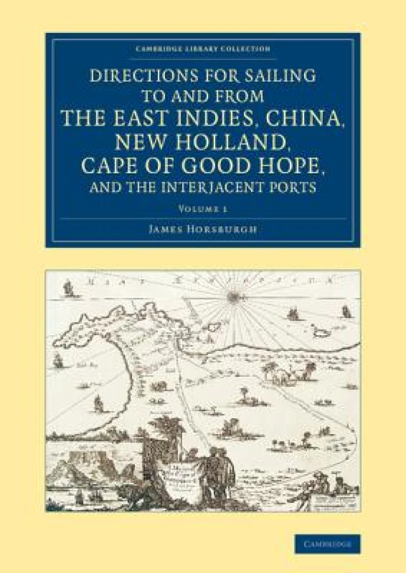
Directions for Sailing to and from the East Indies, China, New Holland, Cape of Good Hope, and the Interjacent Ports : Compiled Chiefly from Original Journals at the East India House
Book Details
Format
Paperback / Softback
ISBN-10
1108077285
ISBN-13
9781108077286
Publisher
Cambridge University Press
Imprint
Cambridge University Press
Country of Manufacture
GB
Country of Publication
GB
Publication Date
Nov 20th, 2014
Print length
432 Pages
Weight
1,030 grams
Dimensions
29.70 x 21.00 x 2.20 cms
Product Classification:
Historical geography
AI Summary
Ksh 9,600.00
Manufactured on Demand
0 in stock
Delivery Location
Delivery fee: Select location
Secure
Quality
Fast
After poor navigation led to his ship being wrecked in the Indian Ocean in 1786, James Horsburgh (1762–1836) devoted himself to the production of accurate charts of the eastern seas. This two-volume work, first published in 1809–11, became the standard reference for navigators for half a century.
Get Directions for Sailing to and from the East Indies, China, New Holland, Cape of Good Hope, and the Interjacent Ports by at the best price and quality guaranteed only at Werezi Africa's largest book ecommerce store. The book was published by Cambridge University Press and it has pages.
Discover books you might love based on this title.
More in This Genre
Medieval Frontier History in New Catalonia
Ksh 27,900.00
From Squaw Tit to Whorehouse Meadow
Ksh 4,750.00
The Historical Geography of Asia Minor
Ksh 9,550.00

Volcanoes in Old Norse Mythology
Ksh 21,600.00
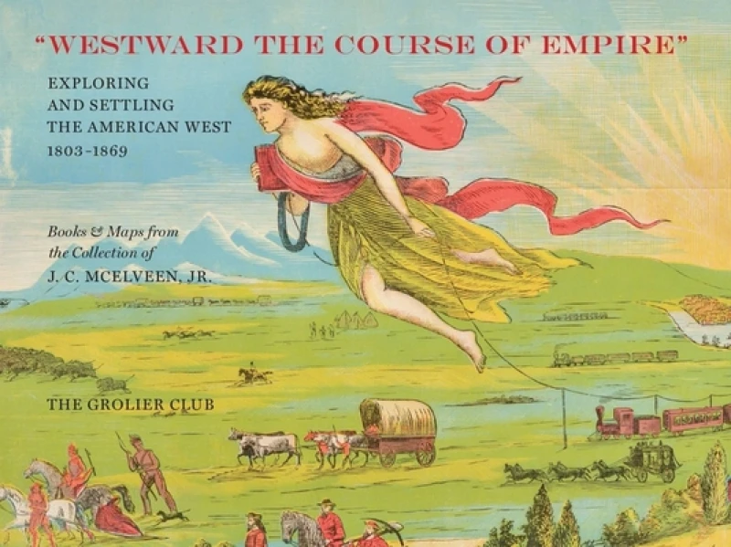
"Westward the Course of Empire" – Exploring and Settling the American West
Ksh 6,400.00
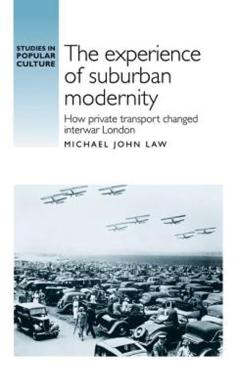
The Experience of Suburban Modernity
Ksh 15,300.00
