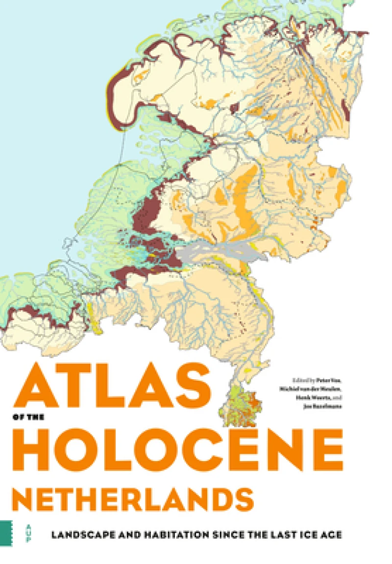
Atlas of the Holocene Netherlands : Landscape and Habitation since the Last Ice Age
Book Details
Format
Hardback or Cased Book
ISBN-10
9463724435
ISBN-13
9789463724432
Publisher
Amsterdam University Press
Imprint
Amsterdam University Press
Country of Manufacture
GB
Country of Publication
GB
Publication Date
Jan 13th, 2020
Print length
96 Pages
Weight
922 grams
Dimensions
25.00 x 34.80 x 0.80 cms
Product Classification:
Historical maps & atlasesDeltas, estuaries, coastal regions
AI Summary
Ksh 18,900.00
Werezi Extended Catalogue
0 in stock
Delivery Location
Delivery fee: Select location
Secure
Quality
Fast
The landscape of the Netherlands has been changing constantly since the end of the last ice age, some 11,700 years ago. Where we walk today was once a polar desert, a river delta or a shallow sea. The end of the last ice age marked the beginning of a new geological period - the Holocene, the relatively warm geological epoch in which we are still living today. The Atlas of the Holocene Netherlands contains special maps, supplemented by archaeological and historical information. These maps show the geographical situation for thirteen different points in time since the last ice age, based on tens of thousands of drill samples and the latest geological, soil and archaeological research. This magnificent atlas also paints a surprising picture of the position we humans have occupied in the landscape. It addresses such questions as: How did we take advantage of the opportunities offered by the landscape? And how did we mould the landscape to suit our own purposes? The Atlas of the Holocene Netherlands will change once and for all the way you look at the Dutch landscape.
Get Atlas of the Holocene Netherlands by at the best price and quality guaranteed only at Werezi Africa's largest book ecommerce store. The book was published by Amsterdam University Press and it has pages.
Discover books you might love based on this title.
More in This Genre

Liverpool 1785-1903 - Fold up Map that includes Charles Eyes detailed Plan of the Township of Liverpool 1785, Cole and Ropers Plan of 1807, Bartholomew's Plan of 1903 and A Birds Eye View of Liverpool 1866.
Ksh 3,600.00

Central Middlesbrough 1892
Ksh 900.00
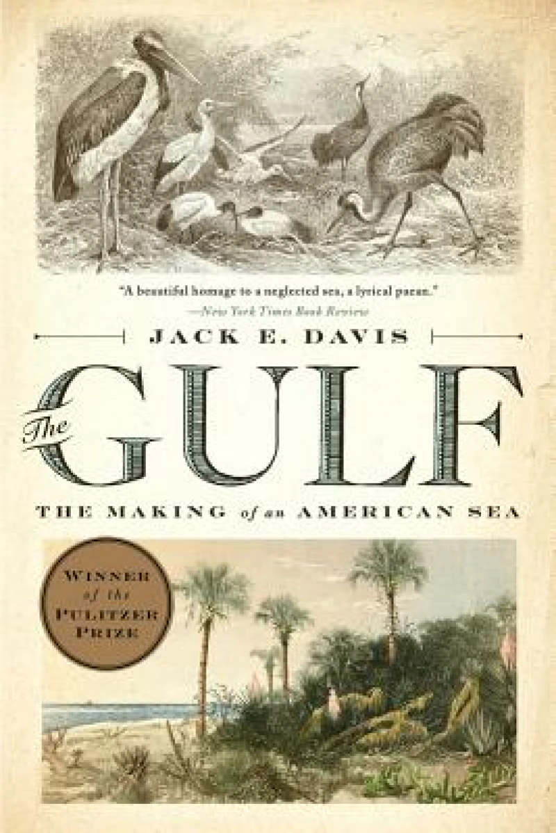
The Gulf
Ksh 2,900.00
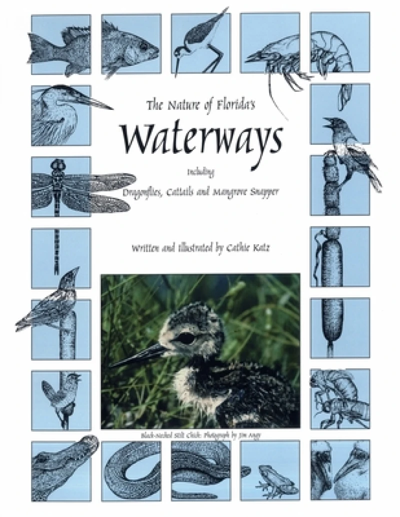
The Nature of Florida's Waterways
Ksh 1,450.00

Herring
Ksh 3,050.00
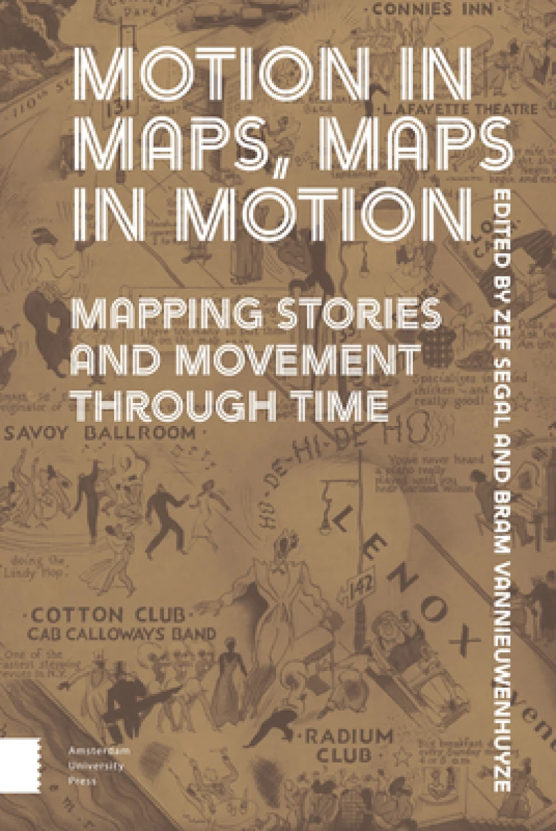
Motion in Maps, Maps in Motion
Ksh 27,900.00
