
Atlas of Atlases : Exploring the most important atlases in history and the cartographers who made them
Book Details
Format
Hardback or Cased Book
Book Series
Liber Historica
ISBN-10
0711268053
ISBN-13
9780711268050
Publisher
Quarto Publishing PLC
Imprint
Ivy Press
Country of Manufacture
CN
Country of Publication
GB
Publication Date
Sep 20th, 2022
Print length
272 Pages
Weight
1,162 grams
Dimensions
20.80 x 24.20 x 3.50 cms
AI Summary
Ksh 5,200.00
Werezi Extended Catalogue
Delivery in 14 days
5 copies in stock
Delivery Location
Delivery fee: Select location
Delivery in 14 days
Secure
Quality
Fast
A lavishly illustrated look at the most important atlases in history and the cartographers who made them.
This beatutiful book is a lavishly illustrated look at the most important atlases in history and the cartographers who made them.
Atlases are books that changed the course of history. Pored over by rulers, explorers, and adventures these books were used to build empires, wage wars, encourage diplomacy, and nurture trade.
Written by Philip Parker, an authority on the history of maps, this book brings these fascinating artefacts to life, offering a unique, lavishly illustrated guide to the history of these incredible books and the cartographers behind them.
All key cartographic works from the last half-millennium are covered, including:
- The Theatrum Orbis Terrarum, considered the world’s first atlas and produced in 1570 by the Dutch, geographer Abraham Ortelius,
- The 17th-century Klencke — one of the world’s largest books that requires 6 people to carry it,
- The Rand McNally Atlas of 1881, still in print today and a book that turned its makers, William H Rand and Andrew McNally into cartographic royalty.
Get Atlas of Atlases by at the best price and quality guaranteed only at Werezi Africa's largest book ecommerce store. The book was published by Quarto Publishing PLC and it has pages.
Discover books you might love based on this title.
More in This Genre
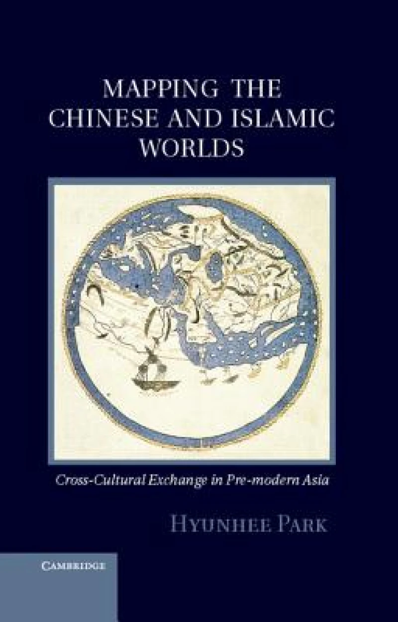
Mapping the Chinese and Islamic Worlds
Ksh 17,800.00

The Routledge Atlas of the Arab-Israeli Conflict
Ksh 6,800.00

Leeds A-Z Pocket Street Map
Ksh 700.00

Somersetshire 1611 - 1836 - Fold Up Map that features a collection of Four Historic Maps, John Speed's County Map 1611, Johan Blaeu's County Map of 1648, Thomas Moules County Map of 1836 and a Plan of the City of Bath from 1851 by John Tallis. The maps feature a number of vignette views from the period.
Ksh 3,600.00
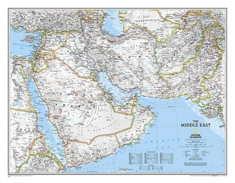
Middle East, Tubed
Ksh 2,900.00

A County of Sussex 1611 - 1836 - Fold Up Map that features a collection of Four Historic Maps, John Speed's County Map 1611, Johan Blaeu's County Map of 1648, Thomas Moules County Map of 1836 and a Plan of the City of Brighton from 1851 by John Tallis. The maps feature a number of vignette views from the period including Brighton's Chain Pier.
Ksh 3,600.00
