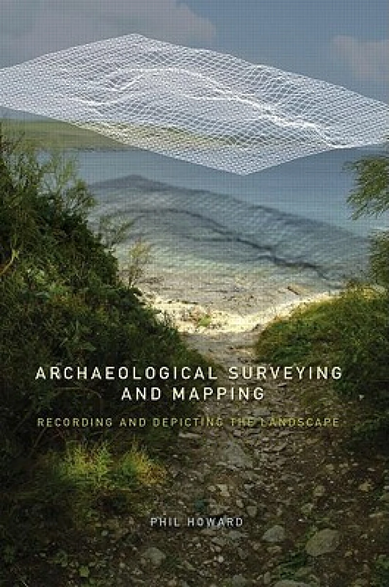
Archaeological Surveying and Mapping : Recording and Depicting the Landscape
Book Details
AI Summary
Delivery Location
Delivery fee: Select location
A comprehensive and practical guide to surveying for archaeologists, with clear instructions in archaeological mapping, recording field work and detailed case studies from the UK, Europe and the US.
Philip Howard provides a users guide to methods and instruments of surveying to enable archaeologists to represent their own fieldwork confidently and independently. Archaeological Surveying is an invaluable resource which:
- provides beginners instructions to software used in computerised surveying, including IntelliCAD 2000, Terrain Tools, Christine GIS and Global Mapper
- introduces the archaeologist to a range of surveying instruments such as GPS, electronic distance measures, theodolites and magnetic compasses
- includes low-cost software.
This textbook is an essential read for any field archaeologists who are in need of an introduction to surveying, or simply wish to update their techniques.
Get Archaeological Surveying and Mapping by at the best price and quality guaranteed only at Werezi Africa's largest book ecommerce store. The book was published by Taylor & Francis Ltd and it has pages.
Discover books you might love based on this title.
More in This Genre
Tracing Prehistoric Social Networks through Technology
Ksh 28,800.00

Mortal Wounds
Ksh 4,500.00

Scotland Before the Scots
Ksh 5,750.00
An Educator's Handbook for Teaching about the Ancient World
Ksh 5,750.00
Dating Urban Classical Deposits: Approaches and Problems in Using Finds to Date Strata
Ksh 12,450.00
Science-Based Dating in Archaeology
Ksh 29,650.00
